barnstorm2
Platinum Member
- Joined
- Nov 1, 2003
- Messages
- 14,573
- Location
- Cincinnati, Ohio
- Aircraft
- 2-place Air Command CLT SxS (project), & Twinstarr Autogyro
- Total Flight Time
- 750+hrs and climbing
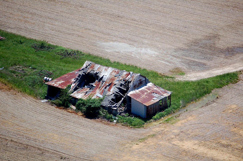
I had good flights in the gyro yesterday even though I have adopted the theme of abandoned as the title..
The day started with an old friend from College showing up for his first gyro ride. It was his birthday and when we got on the ground he declared it one of, if not the best Bday present he had ever had.
The plan for the day was to fly to a Fly-In about 110 miles away. My FW buddies had left about an hour before me. After lunch with my friend Phil I fueled up and headed out.
The forecast for the day was 10mph (max) winds from the northwest.
About 25 minutes from the airport my FW friends came on the radio and said they were heading back. They said it was a good fly-in with lots of heli's but they were heading back because a friend of ours was getting his newly built Kit-Fox out to fly this afternoon. Also, some pop-up storms were headed for Cincinnati and they did not want to get stuck out here.
I decided to abandon the fly in and head back also.
I did a 180 and set the GPS for home.
Calculations showed that based on my GPS ground-speed I would have about 30 minutes of fuel left when I arrived at my home airport.
That changed...
As were flying back the headwind kept getting stronger and stronger. My FW friends were experiencing the same thing but much worse because they were at a higher altitude.
I picked some emergency / alternate airports in-case it got worse.
The last airport I flew over on the way home as a decision point was ClearWater Airpark (the location of the next PRA Chapter 40 meeting BTW).
Clearwater is 10 minutes from home and my fuel showed about 15-20 minutes remaining. My Low Fuel light went on.
The pattern was clear so I decided to give it a shot. The path in had plenty of places to land should I run out of gas.
It was unnerving to be flying with the Low Fuel light on but I made it back with usable fuel. Now I know exactly what the range of my machine is with one person!
It was good that we came back because the pop-up storms were coming in and if I had been out another hour things might have gotten bad.
If I did not have my GPS and digital fuel meter I would have definitely stopped at ClearWater and found a way to get fuel even if I had to call a cab to do it. (Clearwater is a grass strip and does not sell fuel).
Some may have been disappointed in the day, having not reached the fly-in, missed all the helicopters and such but not I. I had a GREAT time flying and for me the fun is the trip more then the destination.
I got to have some great flying time in wonderful weather and that is just great by me!
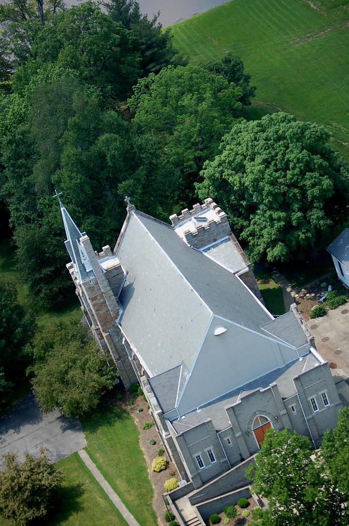
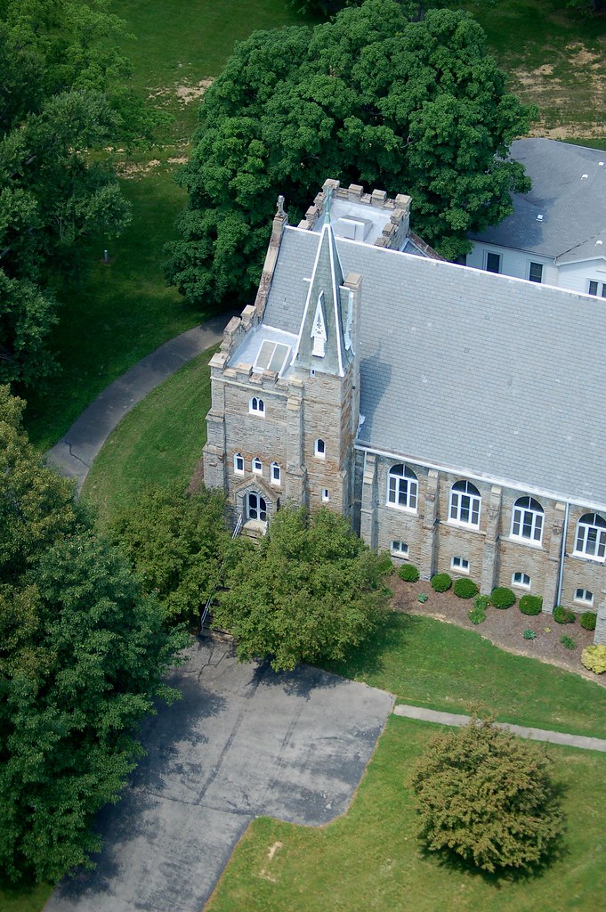
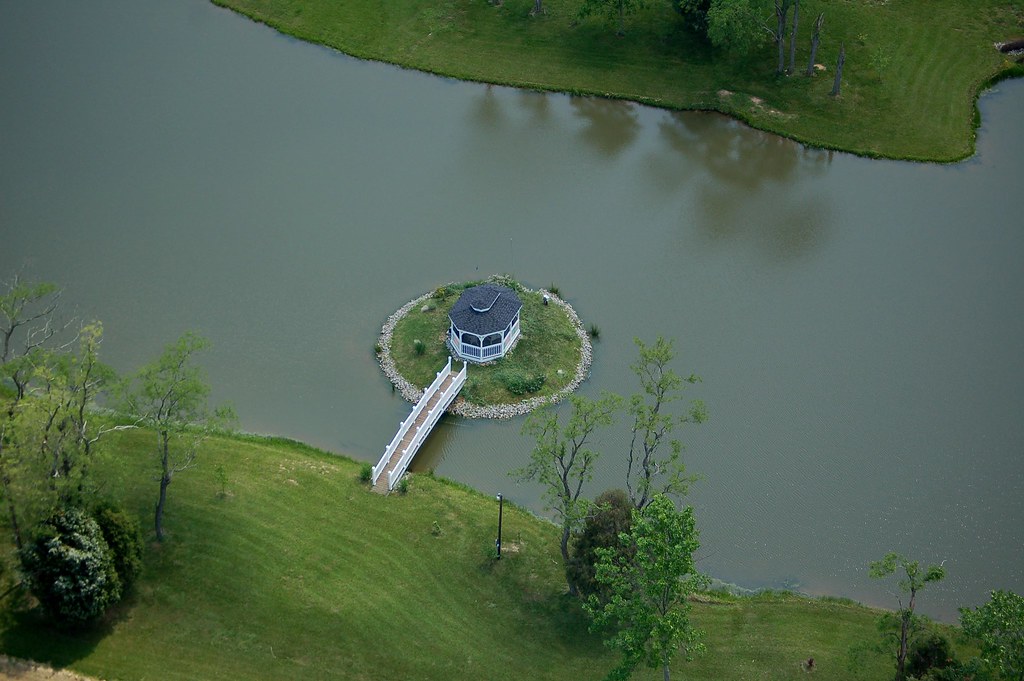
Here are the photos...
Now since no one seemed to notice the 'easter egg' in my last Photo Journal (the shaved, puffy-head lammas) I guess I will point out that there is a hidden russian aircraft in this photo journal....
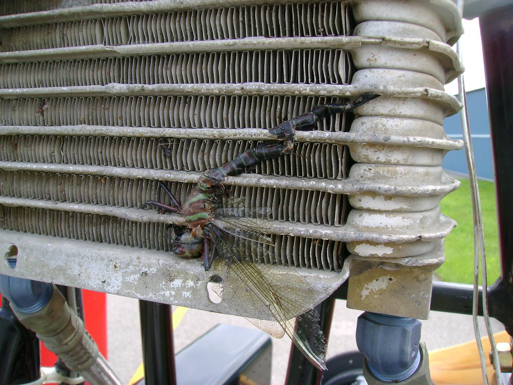
Found this poor guy during Pre-Flight...
His head is the size of a marble!!!
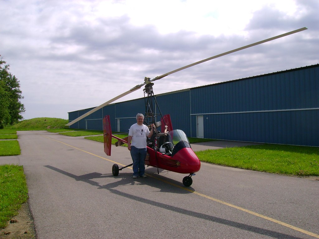
My friend Phils first Gyro ride!
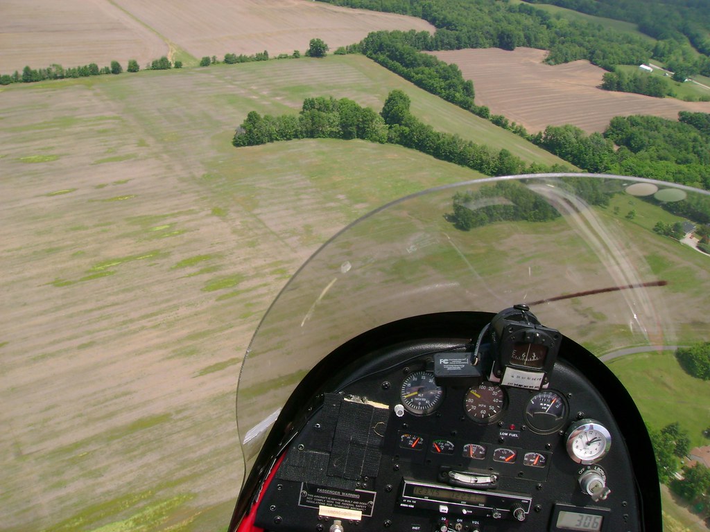
Dash view:
The velco is where I put my 2 backup GPS's but they are on other duty right now...
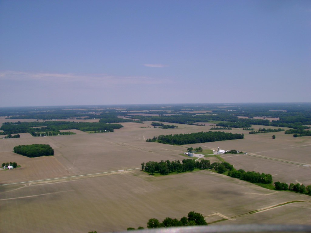
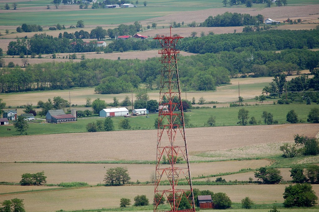
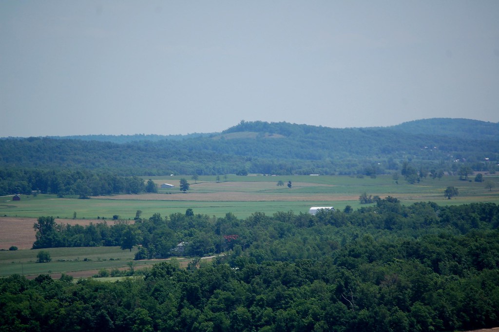
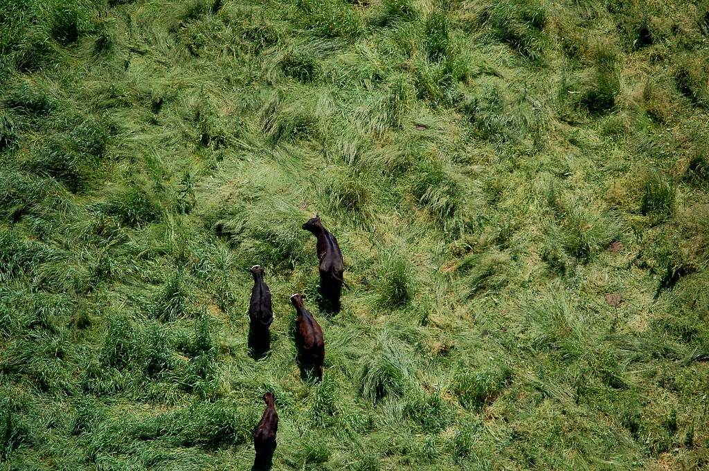
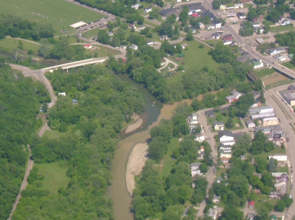
This would be the flat plains of Ohio...
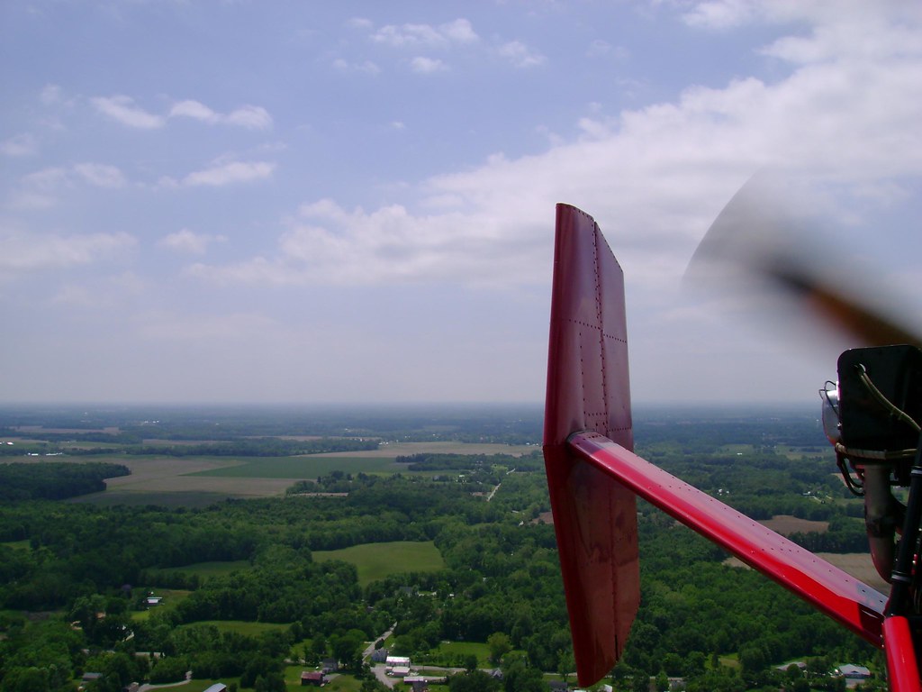
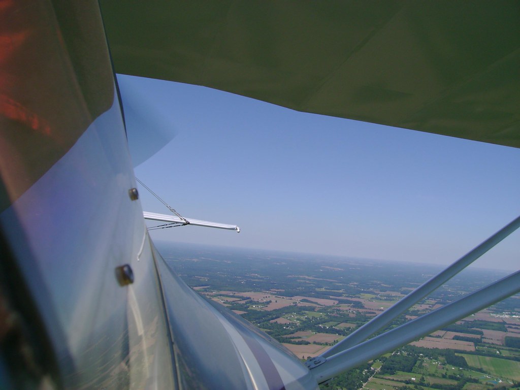
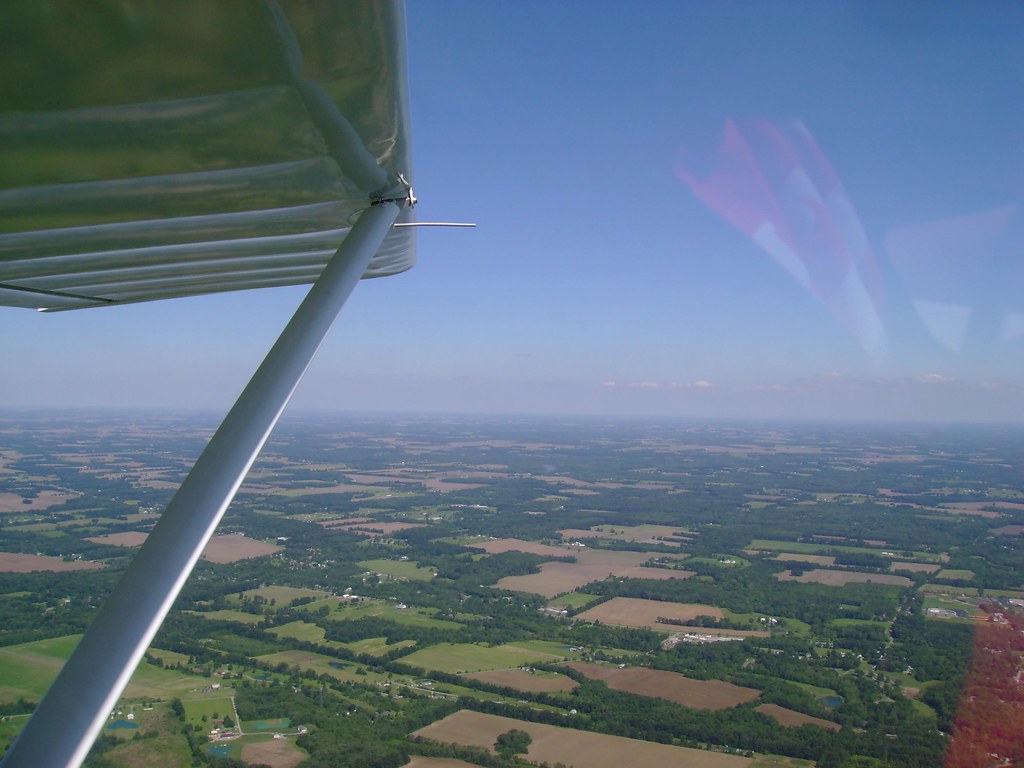
Tail Shot....
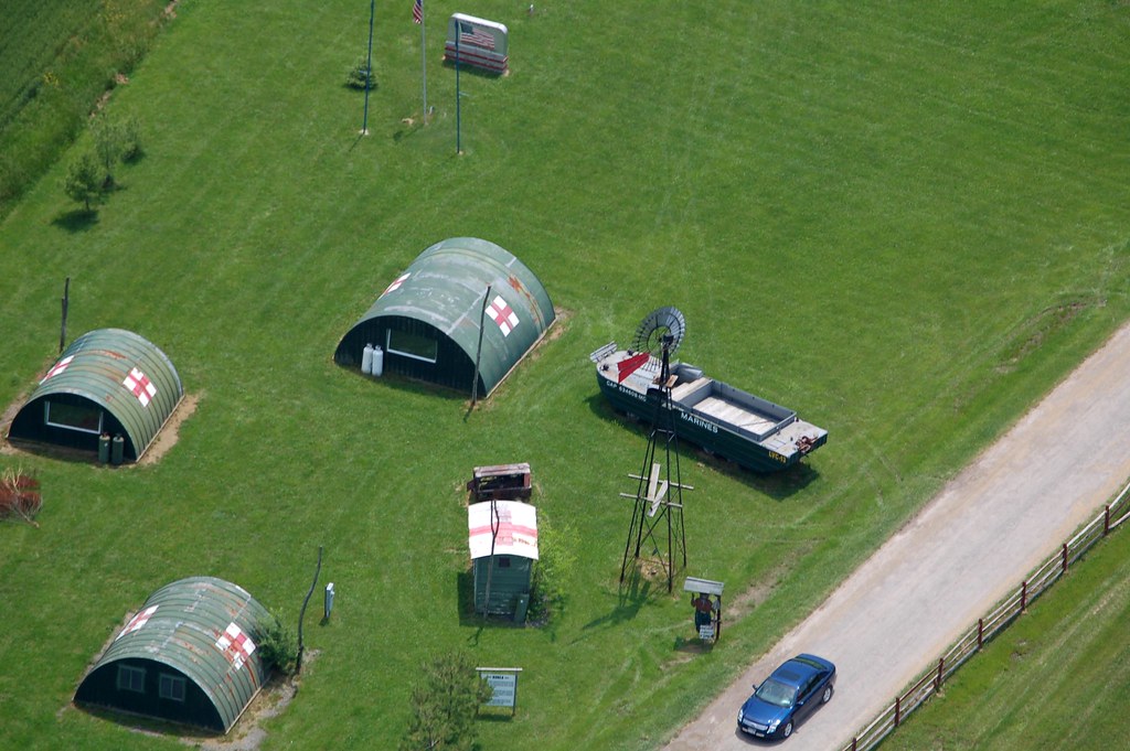
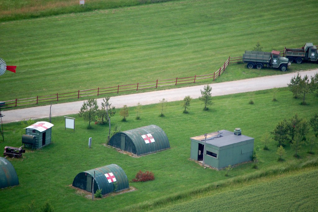
The M*A*S*H unit at ClearWater
The day started with an old friend from College showing up for his first gyro ride. It was his birthday and when we got on the ground he declared it one of, if not the best Bday present he had ever had.
The plan for the day was to fly to a Fly-In about 110 miles away. My FW buddies had left about an hour before me. After lunch with my friend Phil I fueled up and headed out.
The forecast for the day was 10mph (max) winds from the northwest.
About 25 minutes from the airport my FW friends came on the radio and said they were heading back. They said it was a good fly-in with lots of heli's but they were heading back because a friend of ours was getting his newly built Kit-Fox out to fly this afternoon. Also, some pop-up storms were headed for Cincinnati and they did not want to get stuck out here.
I decided to abandon the fly in and head back also.
I did a 180 and set the GPS for home.
Calculations showed that based on my GPS ground-speed I would have about 30 minutes of fuel left when I arrived at my home airport.
That changed...
As were flying back the headwind kept getting stronger and stronger. My FW friends were experiencing the same thing but much worse because they were at a higher altitude.
I picked some emergency / alternate airports in-case it got worse.
The last airport I flew over on the way home as a decision point was ClearWater Airpark (the location of the next PRA Chapter 40 meeting BTW).
Clearwater is 10 minutes from home and my fuel showed about 15-20 minutes remaining. My Low Fuel light went on.
The pattern was clear so I decided to give it a shot. The path in had plenty of places to land should I run out of gas.
It was unnerving to be flying with the Low Fuel light on but I made it back with usable fuel. Now I know exactly what the range of my machine is with one person!
It was good that we came back because the pop-up storms were coming in and if I had been out another hour things might have gotten bad.
If I did not have my GPS and digital fuel meter I would have definitely stopped at ClearWater and found a way to get fuel even if I had to call a cab to do it. (Clearwater is a grass strip and does not sell fuel).
Some may have been disappointed in the day, having not reached the fly-in, missed all the helicopters and such but not I. I had a GREAT time flying and for me the fun is the trip more then the destination.
I got to have some great flying time in wonderful weather and that is just great by me!
Here are the photos...
Now since no one seemed to notice the 'easter egg' in my last Photo Journal (the shaved, puffy-head lammas) I guess I will point out that there is a hidden russian aircraft in this photo journal....
Found this poor guy during Pre-Flight...
His head is the size of a marble!!!
My friend Phils first Gyro ride!
Dash view:
The velco is where I put my 2 backup GPS's but they are on other duty right now...
This would be the flat plains of Ohio...
Tail Shot....
The M*A*S*H unit at ClearWater
")